20 September 2022

Environmental pressure groups are often quick to be critical of the impact of new development on the countryside of England – including green belts. However, official data published today by the Government paints a very different picture of the geography of the country. For example:
* The land area of England is 13,046,240 hectares, of which just 8% is developed.
* When including land designated as green belt, just over 37% is protected against development by one or more environmental designations (National Parks, Sites of Special Scientific Interest etc.).
* The adoption of new local plans resulted in a 1.5% increase – 24,150 hectares - in land designated as green belt between March 2021 and March 2022.
* 180 out of 309 local authorities have land designated as green belt.
* Within green belts, 0.3% is covered by residential dwellings – 2.9% if the garden areas are included.
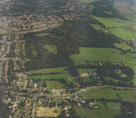
Locally, 35% of land within Bournemouth, Christchurch and Poole (BCP) is statutory green belt. Given new housing targets, there will be pressure to maintain that figure when the BCP Local Plan is published in 2023.
For further information contact Peter Atfield B.TP MRTPI MTCPA FRGS on 01202 550100 or e-mail: peter.atfield@goadsby.com